
Hear another perspective
The last miles of a long journey
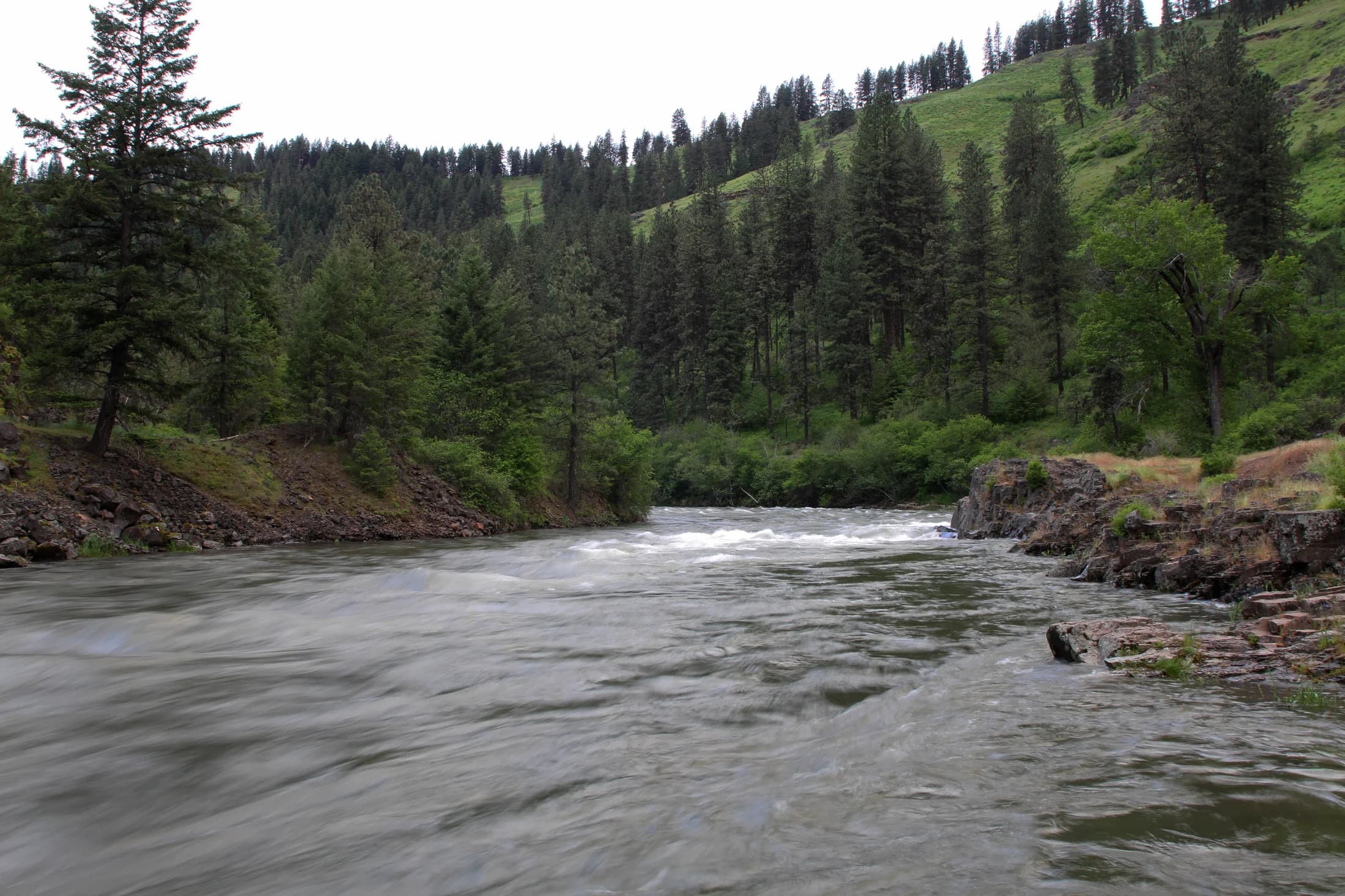
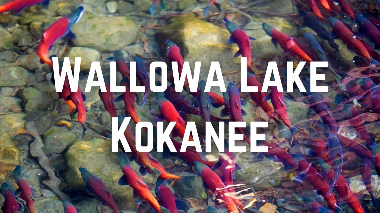
By the time a Chinook salmon reaches the Lostine River, the ocean is hundreds of miles behind it. An Oregon Watershed Enhancement Board project account describes a journey past eight major dams on the Columbia and Snake, followed by a much smaller obstacle near the destination: irrigation diversions and too little water in the river. A basin-wide recovery effort could still come undone in its final miles.
The account places the beginning of a negotiated response in 2004. The Nez Perce Tribe and conservation partners worked with irrigators on an alternative to simply closing headgates. The Upper Lostine Minimum Flow Agreement followed in 2005: compensation for more than 60 farmers and ranchers, tied to maintaining 15 cubic feet per second during August and September. Trout Unlimited also worked on irrigation improvements and water transactions.
The significance lies in the mechanism. Fish needed passage during the same season that farms needed water. Making cooperation possible required more than agreeing that both mattered: someone had to bear a cost, define a measurable commitment, and keep working with the people upstream.
Published on YouTube by Wallowa Land TrustWatch on YouTube (opens a new tab)
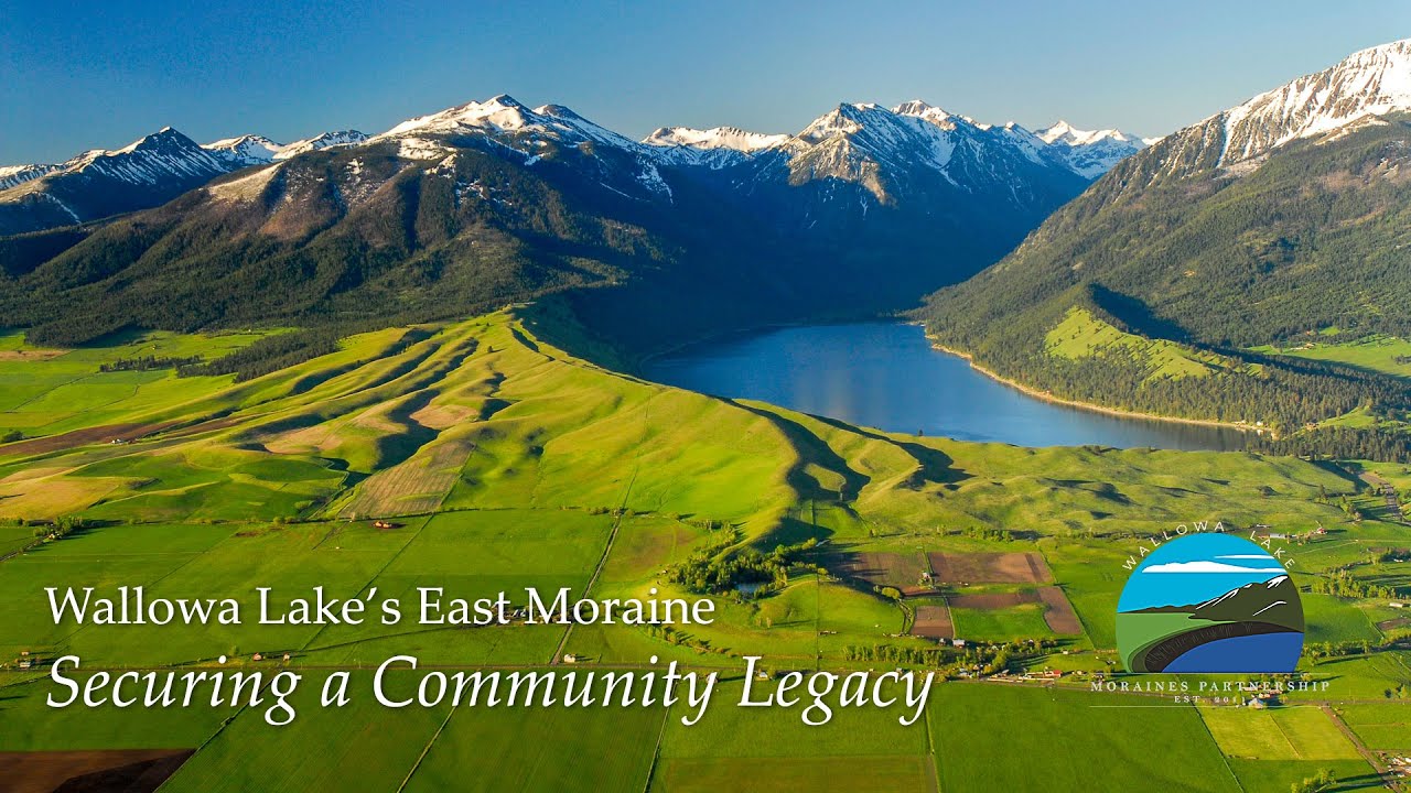
Wallowa Lake's East Moraine: Securing a Community Legacy ↗
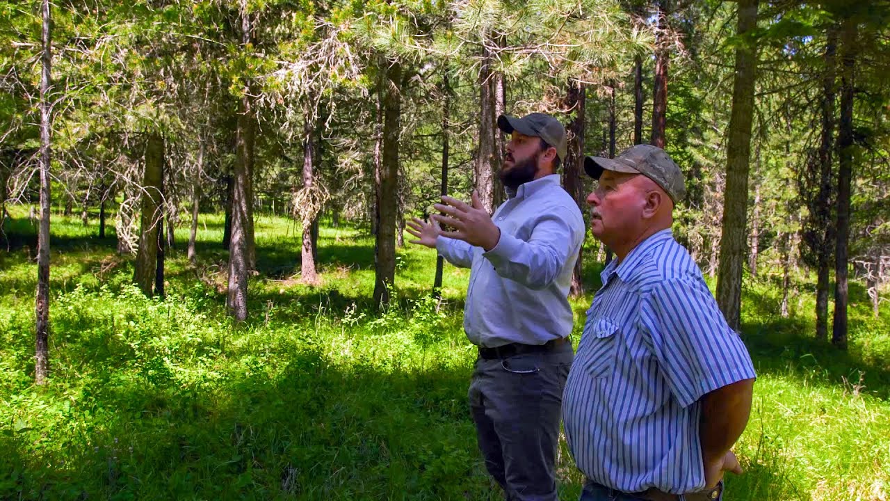
A film from Wallowa Land Trust’s campaign to protect the East Moraine, the ridge overlooking Wallowa Lake.
Source, dates & recording context ↗A return that reached beyond the county
A different salmon recovery story reached a milestone in 2020. NOAA reported that coho, absent from the Lostine basin for roughly half a century, were returning after reintroduction work begun in 2017 by the Confederated Tribes of the Umatilla Indian Reservation, the Nez Perce Tribe, and Oregon’s fish and wildlife agency. About half a million young fish had been released in that first year.
More than 5,000 adults headed for the Lostine passed Bonneville Dam in 2020; that is a downstream count, not 5,000 fish counted in the Lostine itself. The first returning adults reached the river that October. The distinction matters because survival between a dam and a spawning stream is part of the story, not a statistical footnote.
The Chinook flow agreement and the coho reintroduction are separate projects. Read together, they show why a county river cannot be understood only inside county lines. Hatcheries, ocean conditions, distant dams, tribal governments, and local irrigation practices all meet in the water.
A view becomes a public responsibility
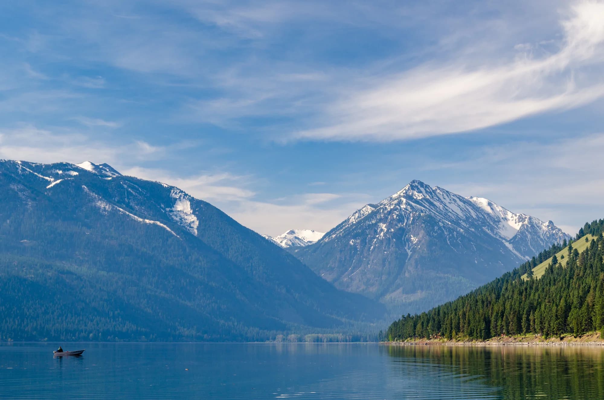
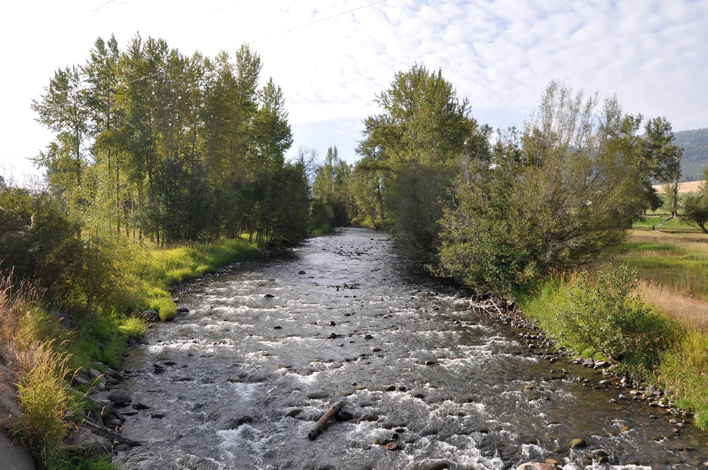
At Wallowa Lake, another kind of agreement changed the future of a familiar landscape. The 1,791-acre East Moraine property entered county ownership in January 2020 after years of work by Wallowa Land Trust, Wallowa County, Wallowa Resources, and Oregon Parks and Recreation Department.
The purchase was not the final act. In January 2023, a conservation easement established a more specific framework for permitted and prohibited uses and assigned oversight to Wallowa Land Trust and the Oregon Department of Forestry. The trust’s account distinguishes this continuing obligation from the broader restrictions in place at acquisition.
That sequence is useful: acquisition answers who holds the land; management and an easement address how its future is governed. A landscape can remain visually familiar while the institutions responsible for it change profoundly.
A small parcel with a different history
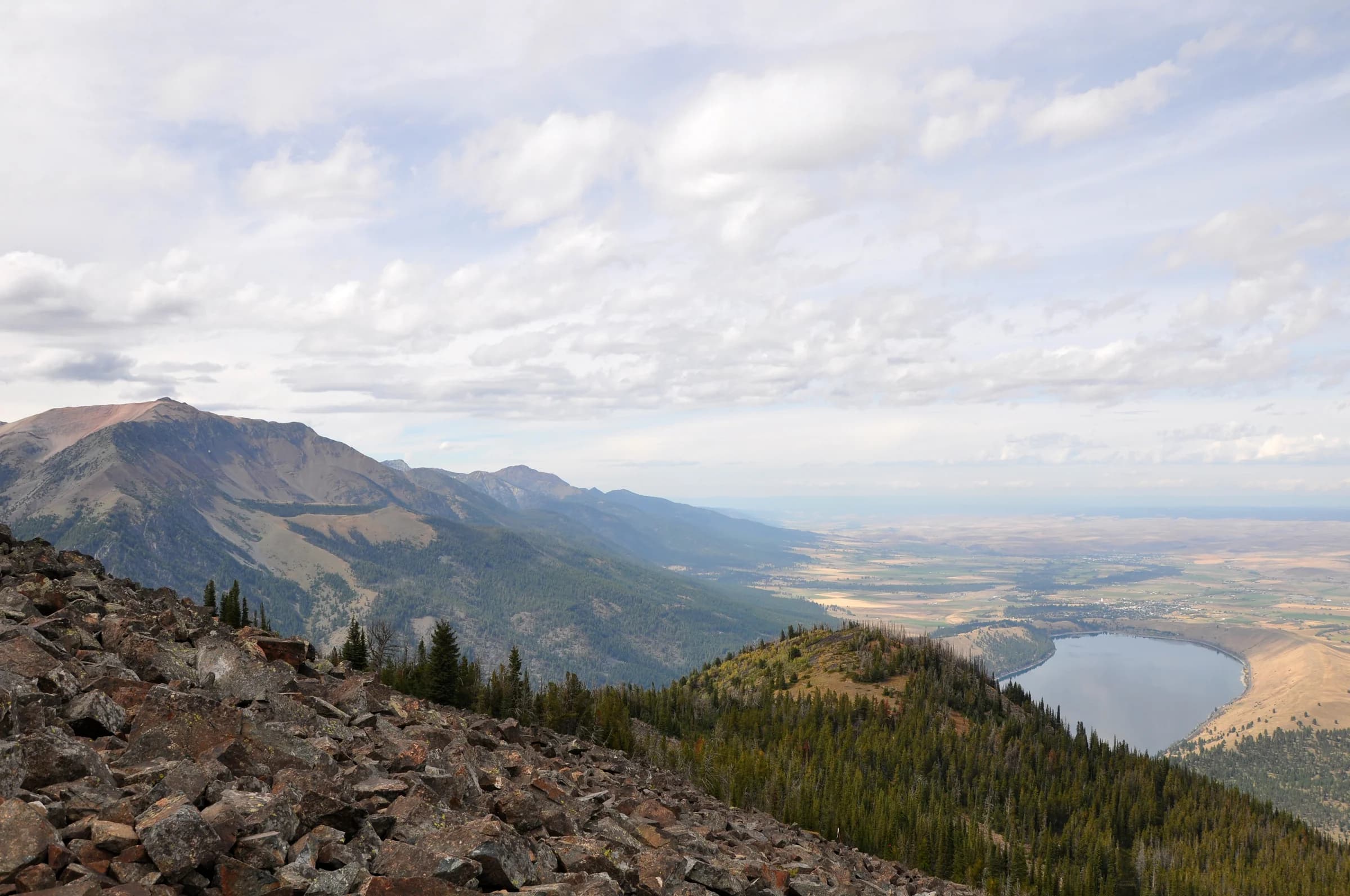
The East Moraine’s acreage is only one measure of a land agreement’s importance. In August 2018, the Oregon-Idaho Conference of the United Methodist Church returned a 1.5-acre parcel of Wallowa River property to the Nez Perce Tribe. The parcel had remained in church ownership as surrounding camp land was sold; vacation homes and the state park formed its immediate setting.
Greg Nelson’s account of the ceremony describes a commemorative deed passing to tribal representatives Arthur Broncheau and Mary Jane Miles. Young people attending a Nez Perce culture camp took part. The reported plan placed the property under the Tribe’s fisheries department for habitat management. A small piece of river thus connected land tenure, ecological work and a younger generation’s relationship to home.
Set beside the East Moraine purchase, the transfer shows why a single map color cannot explain what a landscape means. County acquisition for a community forest and land returned to a tribal nation are different histories of authority. Both require reading the agreement behind the boundary.
Working landscapes need continuing work
Wallowa Resources describes stewardship, education, and rural livelihoods as connected work. Wallowology makes natural history part of public learning. Their different approaches suggest that maintaining a landscape also depends on the skills and knowledge available to the people living around it.
The Lostine agreement offers a concrete way to judge that relationship. The question is not simply whether a project uses the language of cooperation. It is whether a commitment is measurable, whether participants can keep it, and whether its benefits endure through difficult seasons. The published project account establishes the agreement’s design; it does not establish the river’s flow on any particular day in 2026.
The lake view and the river’s last miles belong in the same regional story because both involve decisions that continue after the announcement. The view is something people value. Keeping it—and keeping a river usable by farms and fish—is work.
Follow the evidence
Sources & further reading
- Lostine River: Telling the Restoration Story ↗Oregon Watershed Enhancement Board · Accessed 2026-09-13
Upper Lostine Minimum Flow Agreement, project history and links to technical evidence.
- Restored Coho Salmon Run Supports Tribal, Sport Fisheries in Northeast Oregon ↗NOAA Fisheries · Accessed 2026-09-13
2020 report. A dated account of a return, not a current run count or fishing regulation.
- East Moraine Community Forest: acquisition and acreage ↗Wallowa Land Trust · Accessed 2026-09-13
- East Moraine conservation easement, January 2023 ↗Wallowa Land Trust · Accessed 2026-09-13
Organization’s account of the signed easement; not a parcel-specific legal interpretation.
- Wallowa Lake ceremony honors return of land to Nez Perce ↗Oregon-Idaho Conference, United Methodist Church · Greg Nelson · Accessed 2026-09-13
August 2, 2018; updated August 8. Account by the transferring institution. The fisheries management described is the plan at transfer, not a present-day habitat assessment.
- Stewardship, education, and rural livelihoods ↗Wallowa Resources · Accessed 2026-09-13
- Natural History Discovery Center ↗Wallowology · Accessed 2026-09-13
The site announces that the center is closed for the 2026 season while presentations continue. Older opening information also remains on the page.