A town of shared rooms and working water: pharmacy counters, a general store, gathering halls, farms, and a river connecting mountain headwaters to the Pacific.
Lostine’s history comes into focus at two scales: the short distances between the buildings along its main street, and the long journeys made by water, fish, workers and families. These connections help explain a town that deserves more than a passing mention on the road between Wallowa and Enterprise.
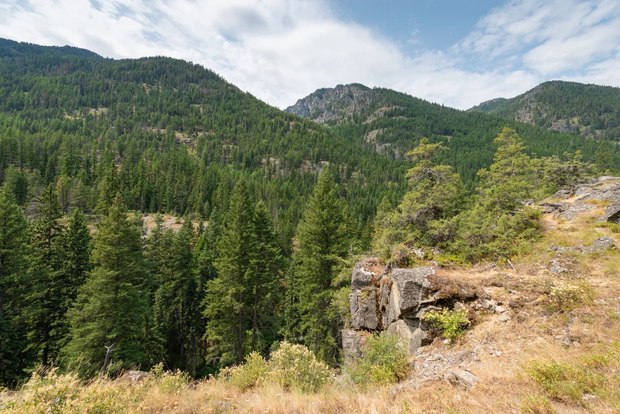
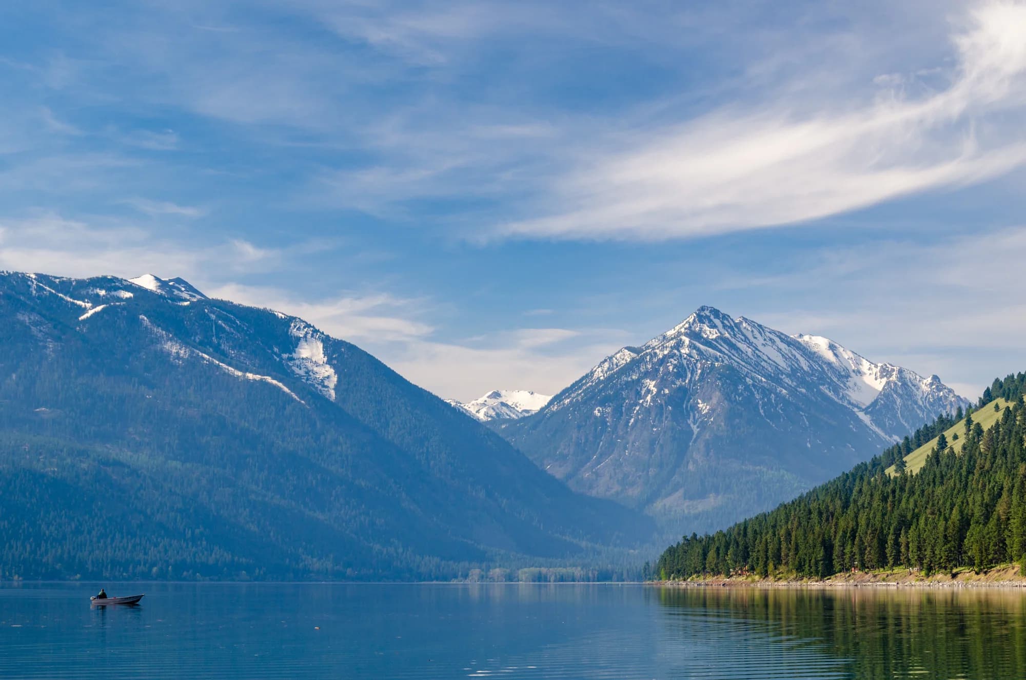
The upper Lostine country; the watershed extends far beyond the incorporated town.Gary Halvorson, Oregon State Archives · 28 July 2020 · CC BY 4.0 · Image & source ↗
A small city with a much larger setting
The Oregon Blue Book dates Lostine’s incorporation to December 28, 1903. Incorporation marks a municipal decision; it does not mark the beginning of life in the valley. The surrounding country belongs within the continuing history of the Nez Perce, whose fisheries work is still part of the river’s present.
Upstream, the Lostine begins at Minam Lake in the Eagle Cap Wilderness and runs through a glaciated, U-shaped valley. Its cold water supports fish whose lives connect these mountains with much larger river systems. Reading the town together with the watershed reveals why local land use, livelihoods and distant events belong in the same story.
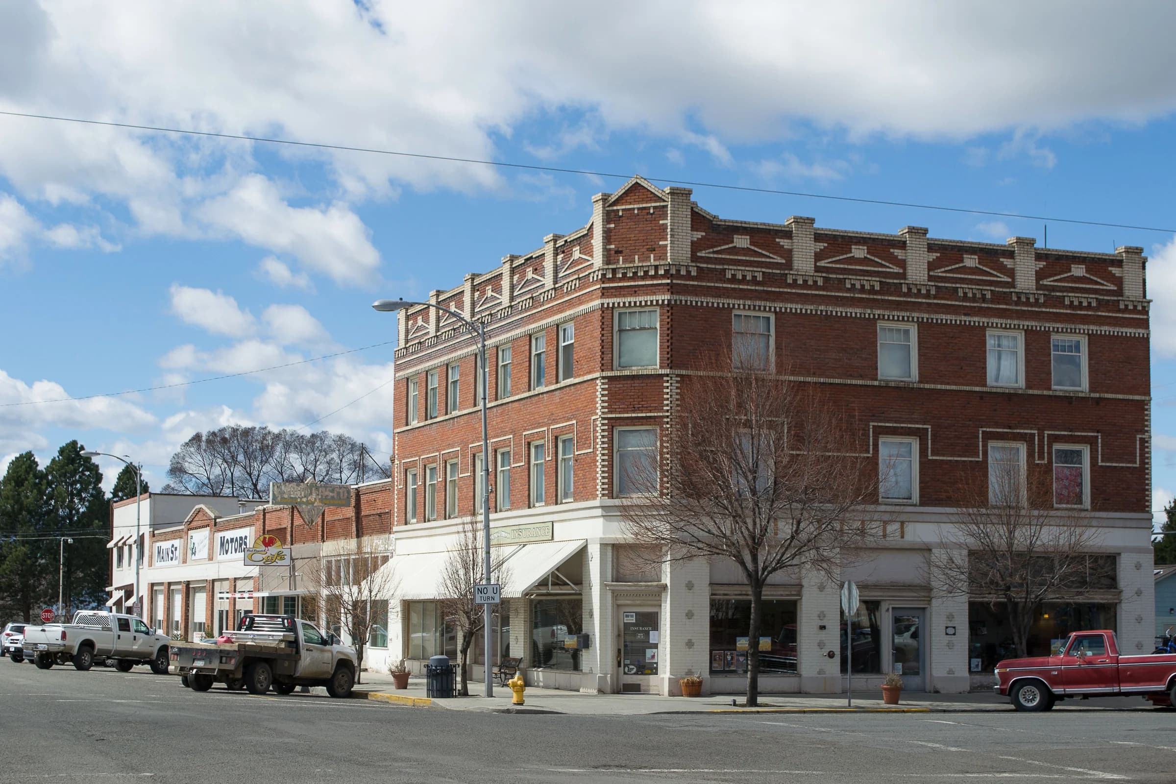
The state’s historic-site record dates the Lostine Pharmacy building to 1900. It identifies Simon L. McKenzie’s pharmacy, operating from 1900 to 1951, and an early office of Dr. Eberle Randolph Seeley. Upstairs, Lostine Masonic Lodge #123 met from 1906 to 1962. The building was listed in the National Register in 2014.
These overlapping uses make the building more than an architectural survivor. Health care, commerce and organized social life occupied the same small footprint. Each had its own participants, rules and history; the building connects them without making them one institution.
In her 2024 history of county soda fountains, Marilyn Hulse points to a photograph in Irene Barklow’s Lostine book showing a fountain in the drugstore in 1900. Her account links that space to the building later known for the Lostine Tavern.
A counter offers a different way into town history from a list of business owners: who stopped there after school, who worked behind it, and how a routine purchase became a conversation. Those individual memories remain to be collected; the photograph and Hulse’s account establish a concrete starting point.
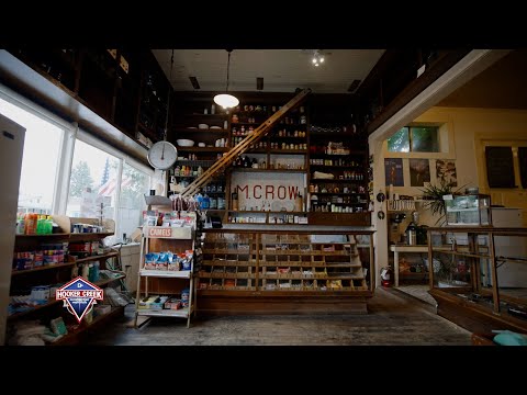
Travel Oregon’s profile describes M. Crow as a general store whose activities now encompass brewing, food, locally made products and radio. It dates the Crow family’s departure and Tyler Hays’s purchase to 2013, connecting the business to a designer who grew up in Joseph.
The founding year needs care: Travel Oregon gives 1907, while Dirty Freehub’s film description gives 1906. The atlas preserves both source links rather than resolving the difference by guesswork. The larger story is continuity through change: what a local store provides, who can use it, and how its relationship to the community evolves.
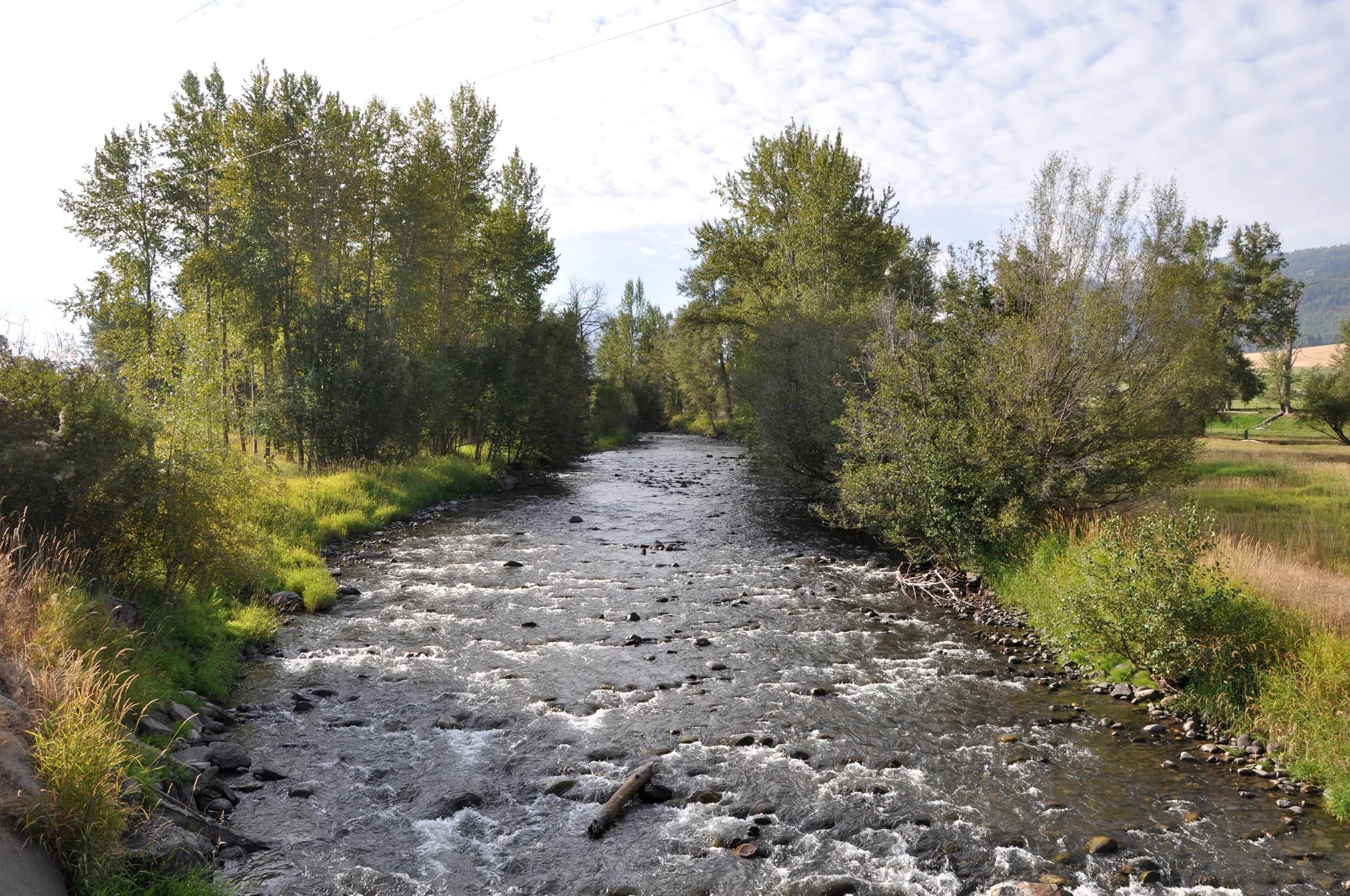
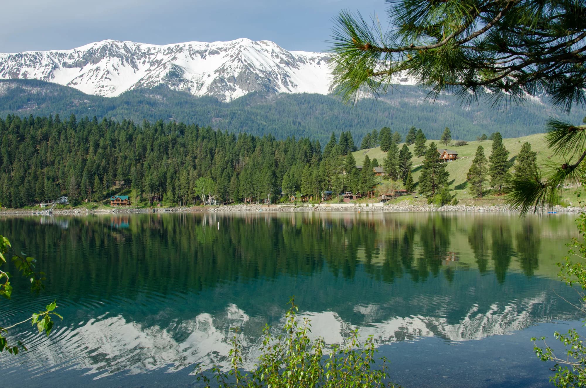
The Lostine River at Lostine. A landscape photograph, not a measurement of seasonal flow.Finetooth · 2010-09-18 · CC BY-SA 3.0 · Image & source ↗
Water shared across different needs
OWEB’s restoration account describes work beginning in 2004 with upper Lostine irrigators and the Nez Perce Tribe. The resulting 2005 minimum-flow agreement compensated participating farmers and ranchers for maintaining river flow during late-summer salmon migration and spawning.
This is a history of practical negotiation as well as ecology. A river can carry irrigation water and returning fish, but those needs become difficult to reconcile in a low-flow season. The accompanying restoration story map follows hatchery supplementation, passage research and habitat work. These are distinct interventions, each requiring its own evidence of results.
NOAA’s 2020 report described restored coho returning to the Grande Ronde and Lostine system and supporting tribal and recreational fisheries. The Nez Perce Tribe’s own program description places Lostine work within its wider fisheries responsibilities.
A successful return in one year cannot stand in for the condition of every species or every later season. Dates matter here: spring Chinook, coho, hatchery production, natural spawning and harvest are connected, but they are not interchangeable measures. Follow the original reports for the particular fish, year and program being described.
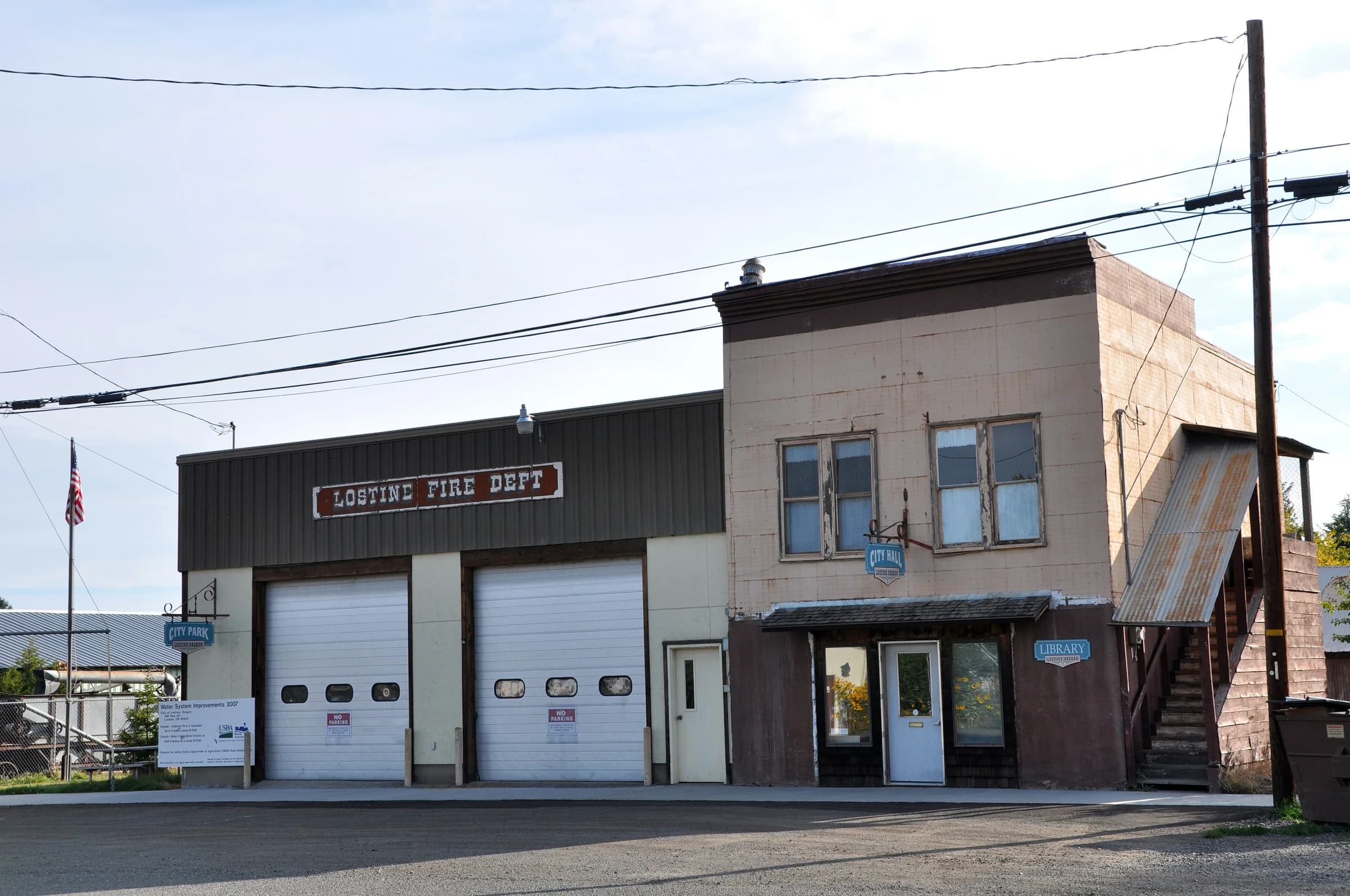
Lostine civic buildings: the everyday spaces behind municipal life.Finetooth · 2010-09-18 · CC BY-SA 3.0 · Image & source ↗
Where neighbors make a town work
Southfork Grange describes an organization built around agriculture, education and community service, including community lunches. Its market page advertises a 2026 season beside Lostine Presbyterian Church. Food, practical knowledge and a place to meet are part of the town’s infrastructure.
The city’s archived notices make ordinary civic work visible. In 2017, residents were invited to discuss garbage disposal and recycling at the former school building, then Christ Covenant Church. Other notices concerned a proposed library district, the Grange, and rearranged council meetings. These are dated traces of people organizing around shared needs, not a calendar for today.
The History Center’s research directory points to the Lostine Reporter alongside papers from Enterprise, Joseph, Flora and the rest of the region. It also links the Horner papers, historical books and two newspaper portals. These collections offer a route from a building name to contemporary notices, advertisements, disputes and accounts of daily life.
The next layer belongs to people whose experience may not appear in a promotional history: hired workers, renters, caregivers, young people, people who left, and those whose cultural life crosses the county boundary. A detailed portrait needs their words as well as surviving documents. Share a memory, identify a photograph, or point us to a source through the contribution link.
6 of the 6 links shown have been read for this edition. The shelf shows at most two links from any one publisher; the rest are in the research records. Collected links are leads for further reading; they are not all evidence used in this place’s account. See the research records.
What the atlas holds for Lostine today: 5 researched records, 97 state business registrations (a starting inventory, not a directory), 3 photographs and no first-person account.
What we are asking
What do residents remember about businesses, homes and schools in Lostine?
What does ranching around Lostine look like from the people who do it?
What does the river mean to the people who live along it?
Which everyday services do residents rely on, and where do they go for them?