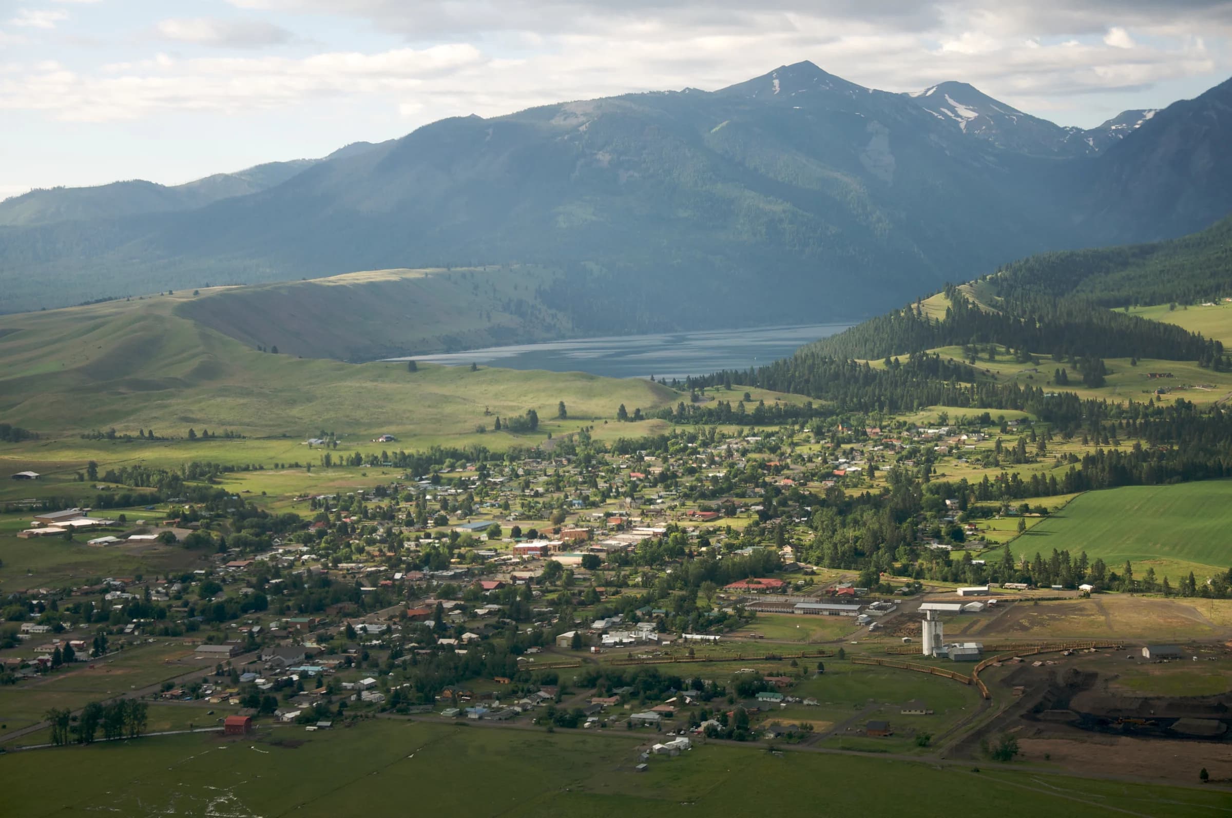
Why land records belong in a portrait of the county
Nearly every story here touches land: a moraine transferred to the county, apartments kept above a Main Street store, cattle that leave the valley to be processed. Land records show the terms under which those things happen: which ground is public and which private, where federal minerals lie under private surface, and where buildings, water and boundaries meet.
A resident can learn on the county map which agency manages the land behind a fence line, whether a parcel’s surface and minerals are held separately, how much of a town’s boundary the public sources can classify, and what the East Moraine record says about its transfer into county ownership.
What the atlas does not do: it publishes no owner names, builds no profiles of individual owners, does not rank private holdings, and infers nobody’s affiliation from a parcel. Owner-level questions belong with the county assessor. If a record about your land concerns you, write to edan@portlandciviclab.org.
What we can see now
The atlas has the county’s public taxlot geometry and historical building footprints. It now also has BLM surface-status classes and federal subsurface-interest polygons. These datasets answer different questions; matching an outline does not establish that a building, business and mineral estate share an owner.
The county assessor maintains ownership and assessment records, but its free taxlot map does not supply the complete account identifiers or ownership attributes needed for a reliable join. Named organizational holdings and private-owner concentration statistics are not yet verified here.
Read the surface-status compilation
BLM says ownership records outside federal lands are incomplete. This view summarizes the source’s mapped categories. It is not a complete ownership inventory, a ranking of owners, or a count of legal parcels.
U.S. Forest Service1,146,589 mapped acres · 56.84% of boundary area
Private Individual or Company830,936 mapped acres · 41.2% of boundary area
Bureau of Land Management20,356 mapped acres · 1.01% of boundary area
State Agency14,489 mapped acres · 0.72% of boundary area
State Dept. of Fish and Wildlife1,807 mapped acres · 0.09% of boundary area
State Dept. of Parks and Recreation825 mapped acres · 0.04% of boundary area
Private Non-Industrial Owner404 mapped acres · 0.02% of boundary area
Undetermined321 mapped acres · 0.02% of boundary area
State Dept. of Forestry2 mapped acres · 0% of boundary area
Water0 mapped acres · 0% of boundary area
Calculated from county-clipped geometry in EPSG:5070; union within each class. Boundary area: 2,017,054.45 acres. Unmapped area: 1,325.4 acres. Categories with very small areas round to 0%. Acquired 2026-09-13; source observation date unspecified. Original BLM layer ↗
Below the surface is another record
76 mapped source featuresHistorical mining case locations · closed
BLM MiningClaims closed-case layer, distinct from the smaller HUB recent-change extract. PLSS-derived case locations are often broader than staked boundaries; geocoding can omit cases. These closed cases do not establish current ownership or extraction rights. Claimant names are not acquired. Displayed acres are computed from county-clipped geometry, not recorded legal acreage. Source observation/update date is unspecified.
Explore this layer ↗297 mapped source featuresSurface management & ownership classes
BLM compilation of surface status. BLM states that ownership records outside federal lands are incomplete. Private land is classified without naming individuals or businesses; agency categories describe mapped status, not a title opinion, public access, or parcel-level beneficial ownership. Displayed acres are computed from county-clipped geometry, not recorded legal acreage. Source observation/update date is unspecified.
Explore this layer ↗4,588 mapped source featuresFederal subsurface mineral interests
BLM federal subsurface-interest codes. These are distinct from surface ownership and mineral occurrences. None means no federal mineral interest in this compilation, not that no private or state mineral rights exist. Consult Master Title Plats and title records for a specific interest. Displayed acres are computed from county-clipped geometry, not recorded legal acreage. Source observation/update date is unspecified.
Explore this layer ↗ The older closed-case layer contributes 76 county-intersecting source features; these are historical case locations, not active rights. The national not-closed mining layer returned 80 geometries in the rectangular search area, but none intersected the actual county boundary. The regional not-closed leases/claims layer similarly returned 16 nearby features and none inside. That is a result for these geocoded layers on the acquisition date—not proof that the county has no claims or mineral interests. Some federal cases have no mapped geometry; state and private interests use other records.
MLRS provides federal case research. Master Title Plats show federal title and reservations. Oregon’s Department of State Lands separately describes state mineral interests, including situations where the state holds minerals beneath someone else’s surface land.
The next step for town ownership analysis
The county’s published fee schedule lists County Tax Data at $150 and GIS Parcel Data at $250 per request. The schedule does not specify the delivered columns, matching identifiers, update dates or reuse terms. Those must be confirmed before purchasing an export. County fee schedule ↗
A useful export would connect complete assessor identifiers to the public map, identify recorded organizations and agencies, and supply owner-type categories. Privacy-preserving aggregate measures can then describe concentration without building profiles of individual residents. Company names alone should not be merged into one controlling owner: subsidiaries, trusts, spelling changes and shared mailing addresses require documented review.
For each verified organizational holding, the atlas should retain the recorded entity, interest type, source document, effective dates, share where stated, and the evidence connecting a parcel or improvement. Uncertain matches stay separate. An organization occupying a storefront is not necessarily its landlord.
Until that evidence is available, the broad surface-class map remains a starting point. It should not be used to rank town owners or calculate a private owner’s holdings.
Ownership is also a historical story
Legal title is one way of describing relationships to land. It does not replace histories of Indigenous homelands, treaty rights, work, displacement or stewardship. The Confederated Tribes of the Umatilla Indian Reservation describe continuing treaty rights and cultural practice in their own account; the Nez Perce Tribe provides its own history. These belong beside the documentary land record, with their distinct authorship and context preserved.
Follow the research collection into tribal publications, Josephy Library essays, county records and historical newspapers. The next task is to connect particular documents to dated events and places, while keeping a resident’s own account separate from editorial interpretation.