A living record · Landscape

Lostine River

A mountain-to-valley watershed connecting fish, irrigation and continuing tribal stewardship.

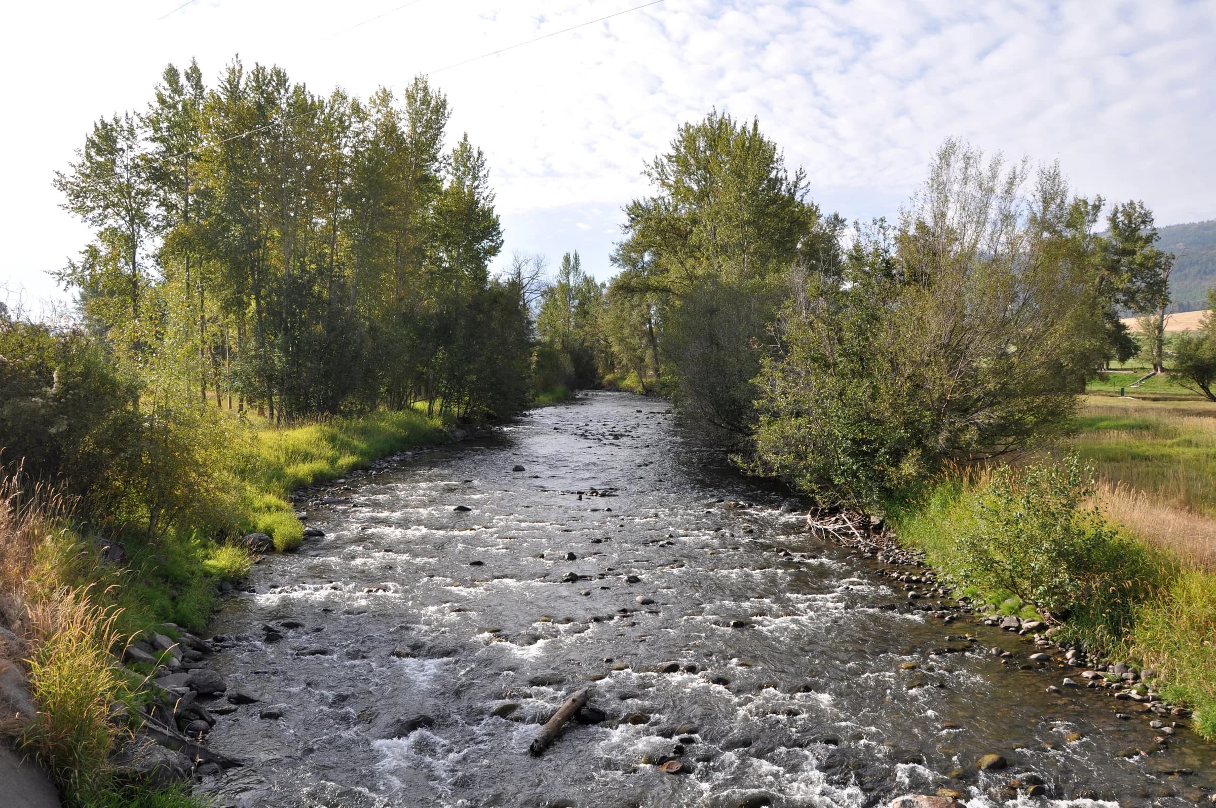
The Lostine River at Lostine. Community context for this record.
Around Lostine

The Lostine River at Lostine. Community context for this record.

Finetooth · 2010-09-18 · CC BY-SA 3.0 · Image & source ↗

Read the Lostine town history for sourced accounts of flow agreements and fish restoration. The federal river profile describes the upper watershed, while tribal and restoration-program sources document different aspects of management.

Follow the connections

Part of the Lostine storyLostine
Land and parcel records

This record has not yet been matched to a verified parcel.

View official map sources and coverage
The larger story

Read the connections.

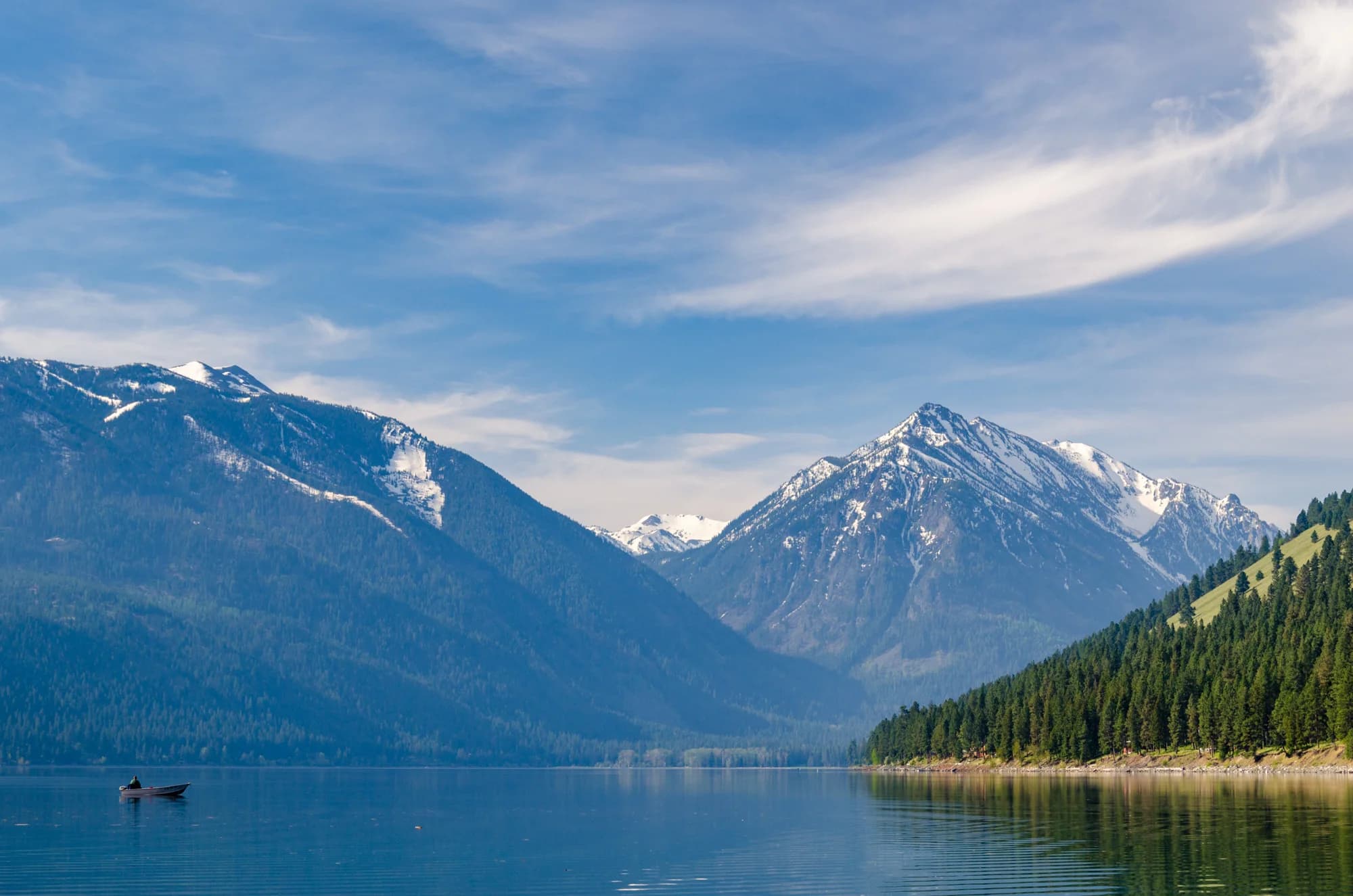
Wallowa Lake and the mountains, seen from the county park at the north end.
Chapter 01 Land & water

The land holds the story.

A river can be a farm’s water supply, a salmon’s route home, and a test of whether neighbors can make room for one another. Follow the Lostine to the East Moraine, where care for the land became a set of concrete agreements.

Read the story